Matthiessen
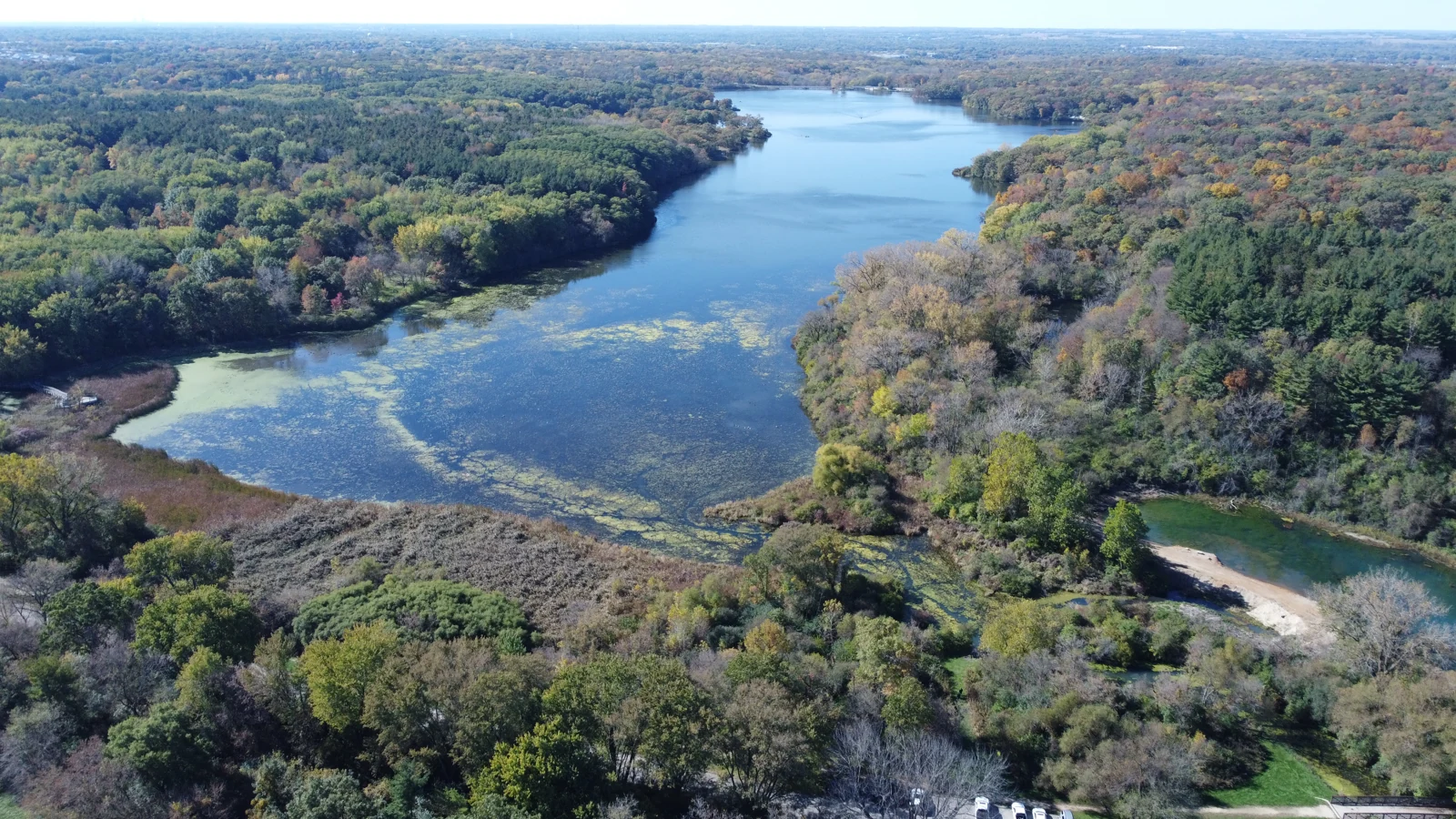
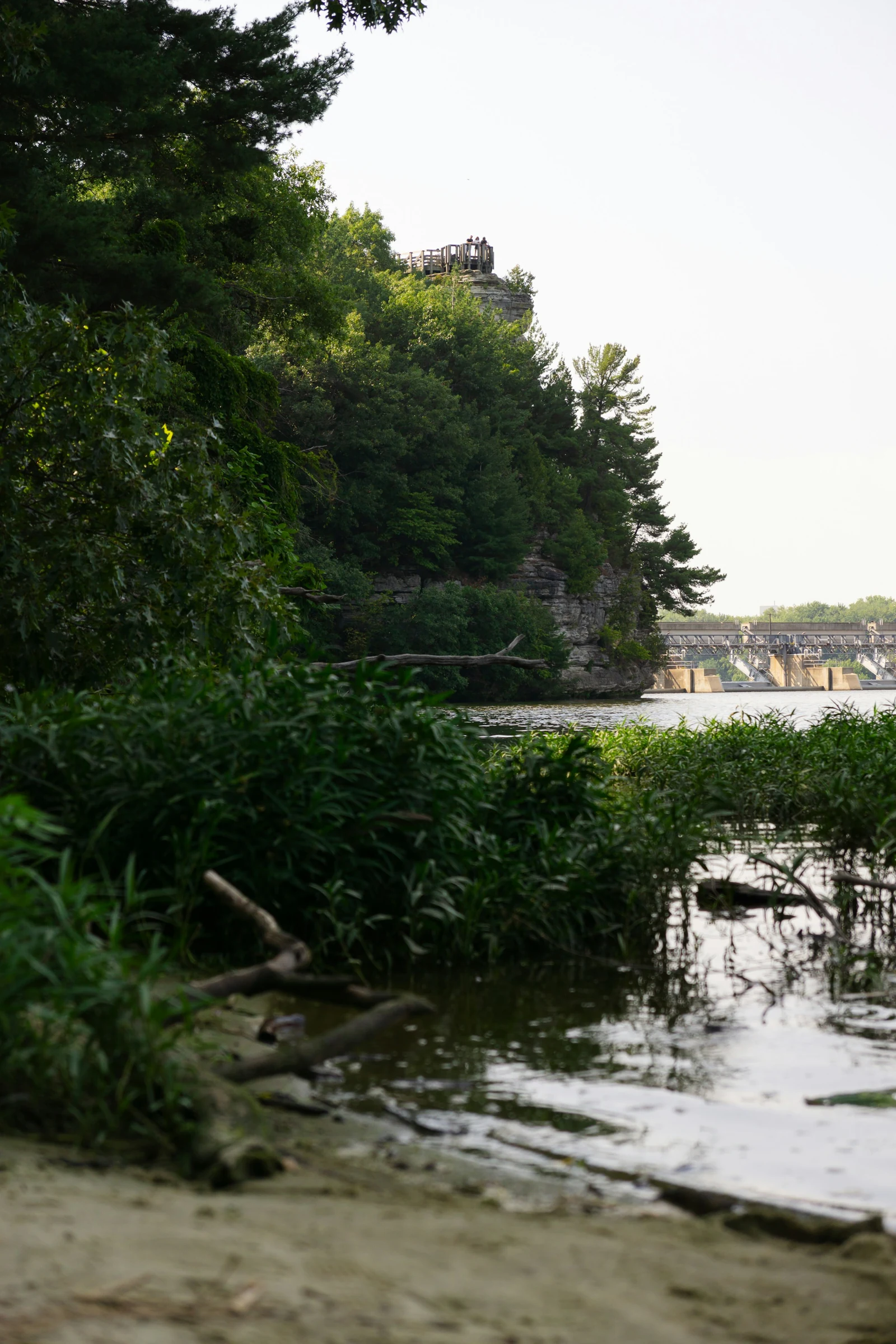
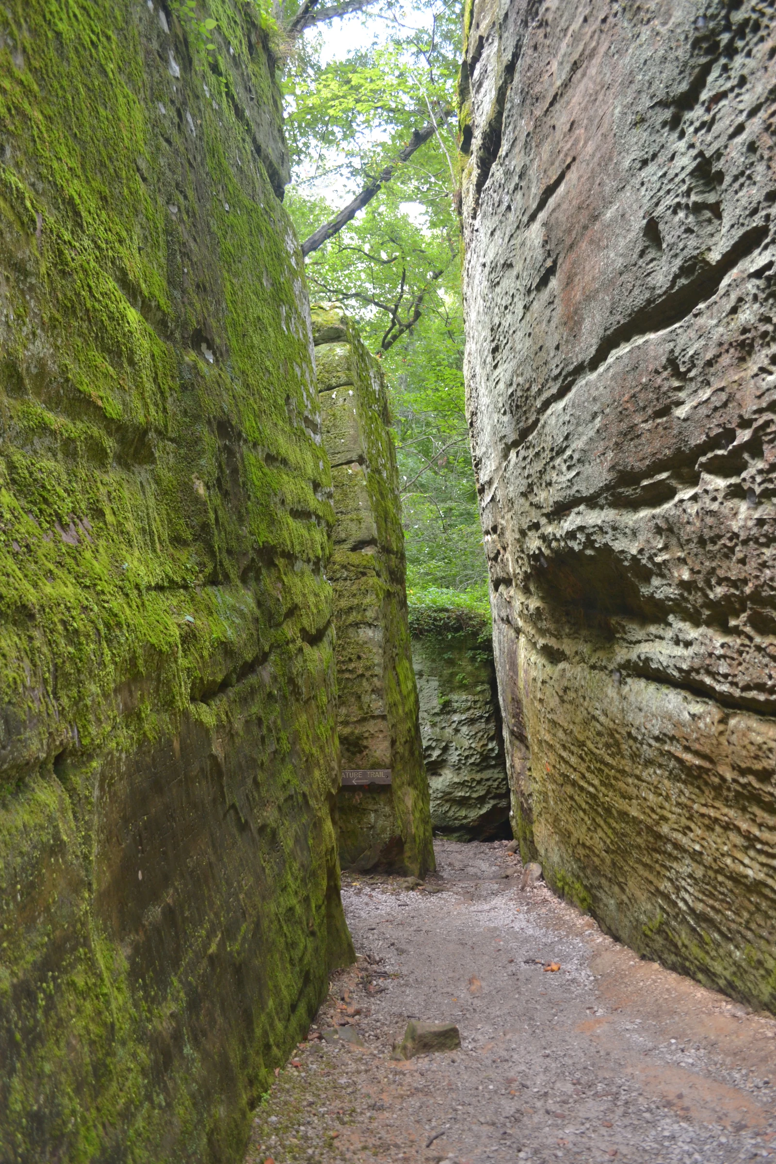
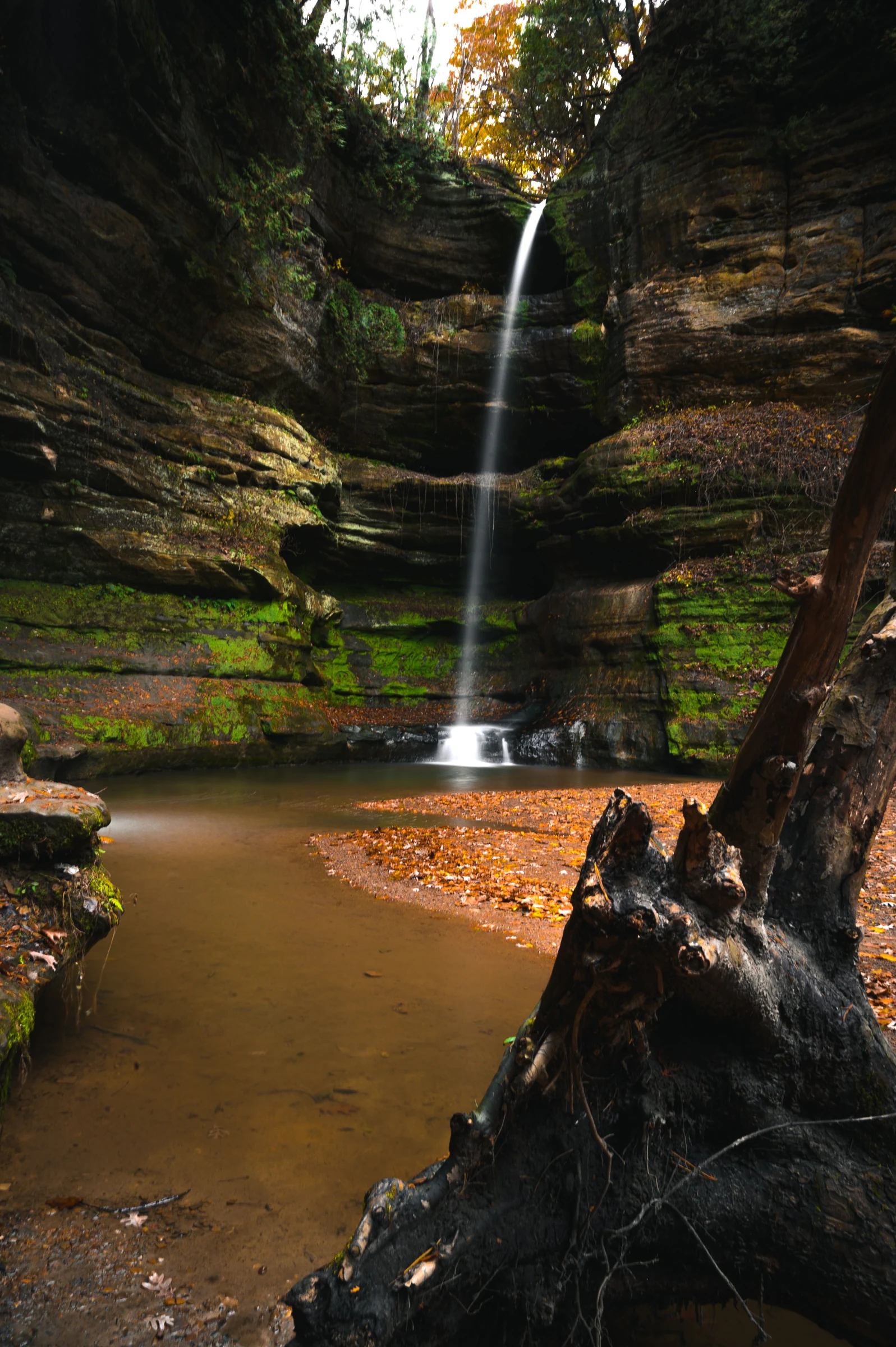
Explore sandstone dells, streams and woodland near Oglesby. Choose the Dells or Vermilion River area to match your activity and current access.
Is this your kind of park?
Choose Matthiessen for a close-up rock-and-stream landscape. Give it its own route plan rather than assuming it is an easy extra after Starved Rock.
MAKE A DAY
OF IT.
A starting plan. Let the weather, current notices, and your group set the pace.
Take the trip checklist →Choose the park area and starting point from the official map. Access in the Vermilion River Area is different from the Dells Area.
Check the Lake Falls bridge/trail notice and current facility information. Follow the posted route around closures.
Plan for wet or uneven surfaces and stay on permitted paths. Swimming is prohibited in the park’s waterfalls, creeks and river.
Check before you leave
At review, IDNR listed the Lake Falls bridge/trail closed and a restroom repair notice. Verify the current detour, facilities and seasonal closures before visiting.
Read current official park information ↗Staying overnight
Do not assume a family campground from a broad camping search result. Check the official page for the camping category offered and use a different overnight base if needed.
Official Illinois booking information ↗Official sources & checks
Source review: . Access and services can change. Read current notices before traveling.
Planning suggestions are editorial, not firsthand trip reports. Photographs identify the place; the official map and current notices guide the visit. How this guide is made →