Read the route description
Turkey Run’s Trail 3 includes ladders. Clifty Falls has both an accessible waterfall overlook and rugged canyon routes. These examples show why “a short walk” is not enough information for choosing a route.
Connect access and destination
Find your parking area, trailhead, intended feature and return on the current official map. Do not assume a scenic feature is next to the park entrance or that two adjacent-looking paths form an allowed connection.
Choose an alternative before you need one
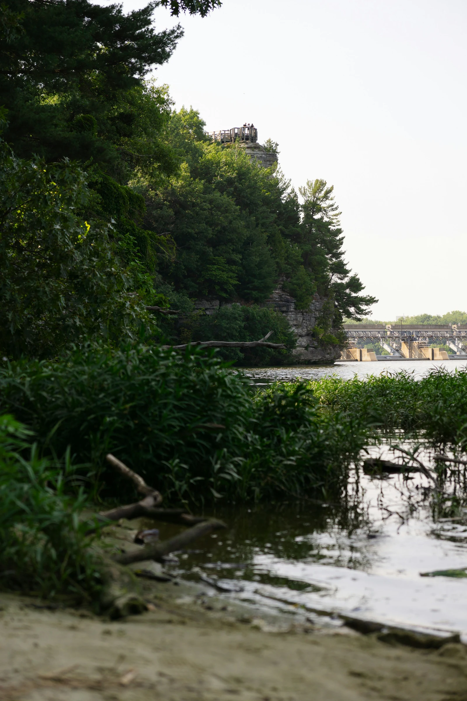
Use current closures to remove unsuitable routes before starting. For Starved Rock, the phased improvement project makes older itineraries especially unreliable. Pick an allowed route rather than working around a barrier.
Ask a specific access question
Describe the full journey you need: surface, grade, steps, obstacles, rest stops and return. A single accessible facility does not establish access throughout the park. Contact the park when the published description leaves an important detail unclear.
Official sources & checks
Source review: . Access and services can change. Read current notices before traveling.
- Turkey Run State Park — official park information
- Clifty Falls State Park — official park information
- Starved Rock State Park — official park information
- Starved Rock State Park — supporting official guidance
- Starved Rock State Park — supporting official guidance
Planning suggestions are editorial, not firsthand trip reports. Photographs identify the place; the official map and current notices guide the visit. How this guide is made →